
Tailings storage
facilities
Slow, long-term movement where the stakes are high, the timescales run to years, and the real signal hides in the noise. The hard part isn't collecting the data — it's reading it.
Satellite InSAR and monthly mapping — read as one record.
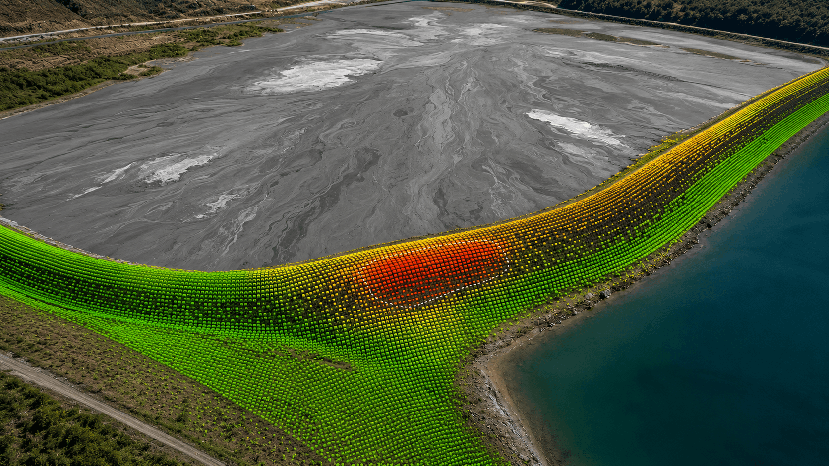
For tailings, DTG combines wide-area satellite deformation with recurring water-body mapping into one continuous, governed, long-term record of how the facility is behaving.
The challenge isn't speed — it's confidence over years. Pulling a reliable long-term signal out of noisy data is what turns a monitoring record into a decision.
We turn noise into a signal you can act on.
On a real embankment, the movement that matters is buried under environmental noise. DTG's difference is the analytics that surface the clean, slow-deformation trend — so it's caught early, not lost.
This is DTG’s analytics capability at work. The machine-learning methods behind it — anomaly detection, trend extraction, and more — are the core of what we do, and we’ve published them on real long-term tailings monitoring.
See our data analyticsWide-area coverage, read against the ground.
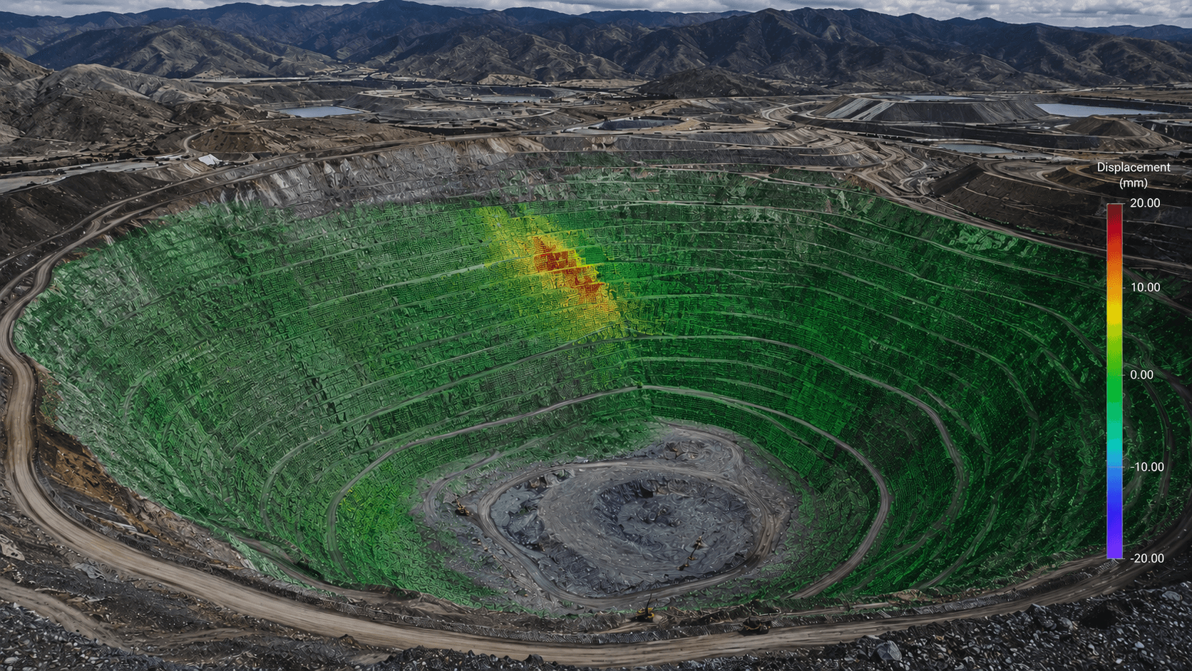
TSF monitoring combines satellite-scale deformation with ground truth — so slow movement is caught early and read in context.
DTG's independence is the point: on your facility, what we recommend is driven by your data, not by any product. We integrate whatever sources are available — and because the value is in how we read them, new sources simply add to the record.
We monitor and interpret. The accountable team decides.
Being clear about the boundary is part of being trustworthy. DTG provides independent monitoring, deformation interpretation and a defensible long-term record — strengthening oversight of the facility, not replacing the people accountable for it.
The environment is the facility. The work is our services.
The how — the monitoring, the analytics, the reporting, the advice — is DTG’s core services, applied to the TSF.
Monitoring a tailings facility?
Tell us about your facility and what you're watching — we'll show you how DTG would support it.
Talk to DTG