
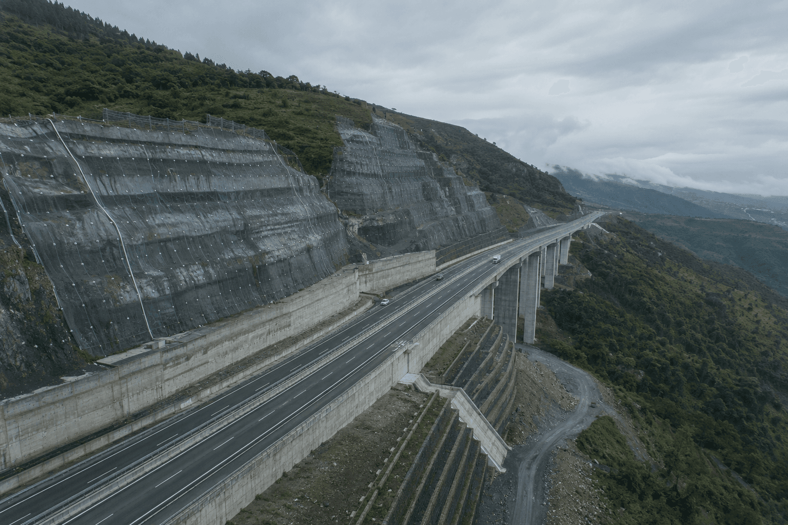
Infrastructure
& civil
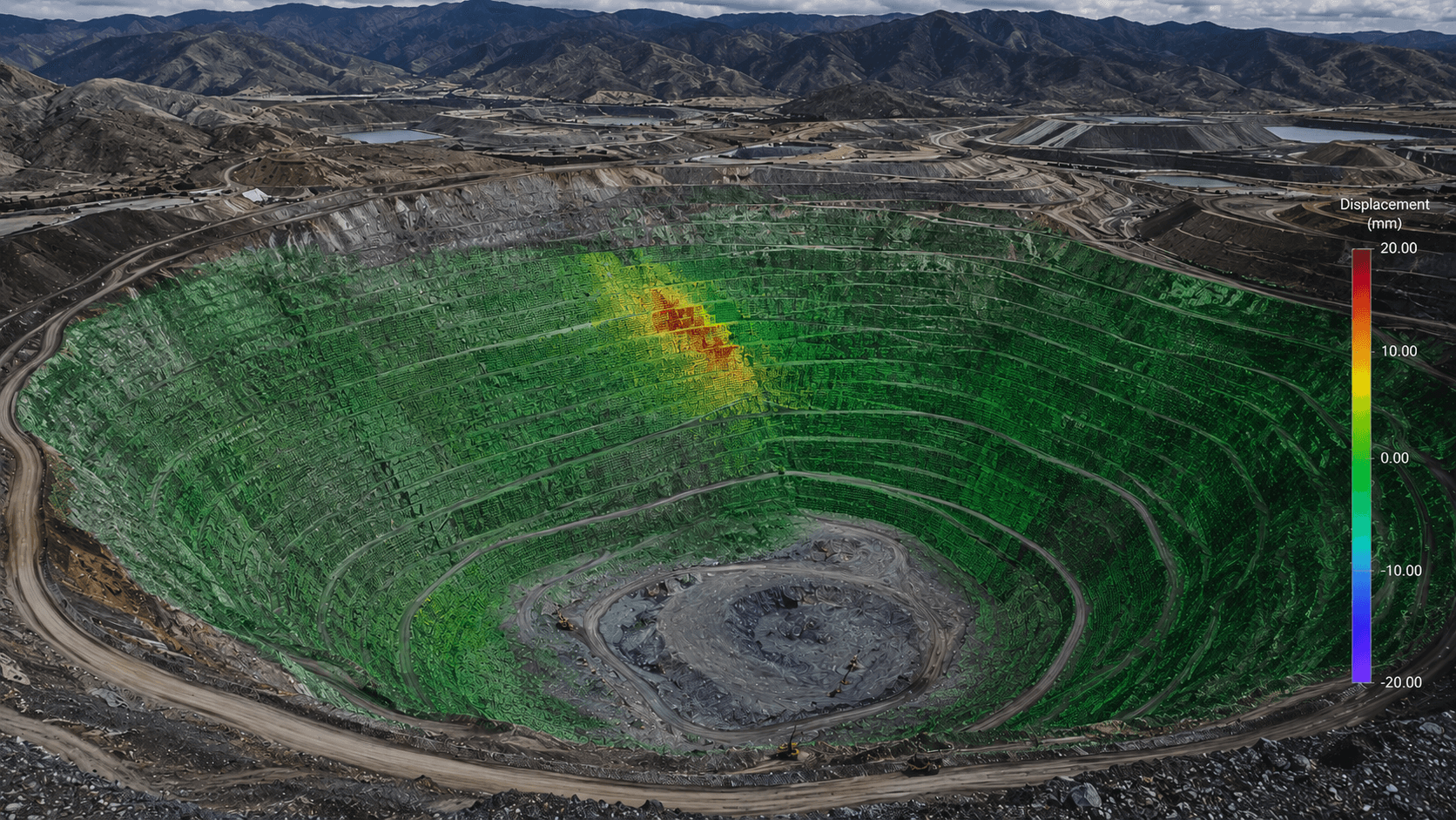
Dams, slopes, tunnels and civil assets face the same core question as a mine: is the ground moving, and does it matter? DTG brings the same independent monitoring and analytics to the built environment.
DTG’s discipline — independent monitoring, rigorous analytics, clear interpretation — is asset-agnostic. What changes on a civil asset is the owner, the regulator and the setting, not the underlying question.
Below are the civil and infrastructure assets where that question is a ground-movement problem — and where DTG can help.
One method, whatever the asset.
DTG treats every civil asset the same way it treats a mine: identify how it could move, watch for that movement with the right mix of sources, and interpret what the data means before it becomes a problem. Three principles carry across every asset below.
We're not tied to a sensor, a contractor or a product. On your asset, what we recommend is driven by your data — which makes our read one an owner, regulator or insurer can trust.
Satellite InSAR lets us see movement across a whole asset and its surrounds — including areas with no instruments — then target ground instrumentation where it matters.
The value isn't the data — it's knowing which movement is real, which is noise, and which is the early signature of a failure mode. That judgement is the whole point.
Civil assets where ground movement is the risk.
Not every structure is a geotechnical problem — but these are. Each is a ground-movement problem DTG is built to monitor and interpret.
Embankment dams & reservoirs
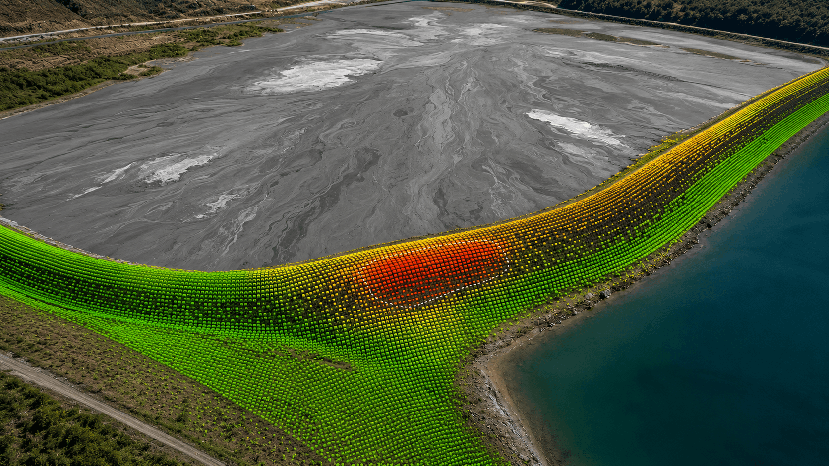
Water-retention dams face the same problem as a tailings facility: slow movement and seepage that must be tracked for decades and read against loading and construction history.
Road & rail earthworks
Transport networks carry thousands of ageing cutting and embankment slopes — built for 60-year lives, deteriorating slowly, and increasingly failing fast under climate-driven rainfall, closing routes.
Landslides & natural slopes
Natural and engineered slopes near roads, rail and communities can move imperceptibly for years, then accelerate. The challenge is knowing which ones — early.
Tunnels & excavations
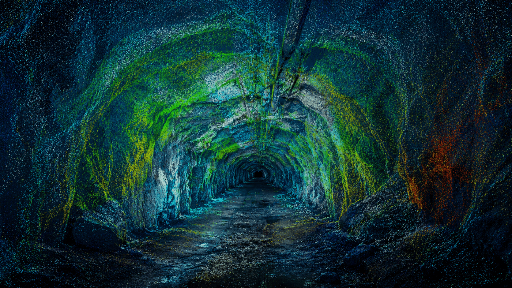
Excavation moves the ground around it. Monitoring that movement during construction — the observational method — protects nearby structures and lets teams act before damage occurs.
Bridges & foundations
Most bridge collapses trace to what's happening at or below the foundation — scour and settlement — and the movement often shows up in the data weeks before failure.
Retaining structures & ports
Retaining walls, quay walls and reclaimed ground fail geotechnically — through movement, settlement and loss of support — often slowly enough to catch if someone is watching.
This is a capability, not yet a case study. DTG is actively extending its monitoring and analytics into civil and infrastructure work. If you have an asset where ground movement matters, we’d welcome the conversation — and we’ll be clear about exactly what we can bring to it.
The work is our services — wherever the asset is.
The monitoring, analytics, reporting and advice we’d bring to a civil asset are DTG’s core services.
Where else DTG works.
Have a civil asset to monitor?
Tell us about it — we’ll be straight about what DTG can bring, and how we’d approach it.
Talk to DTG